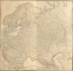
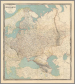
European Russia
|
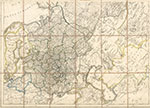
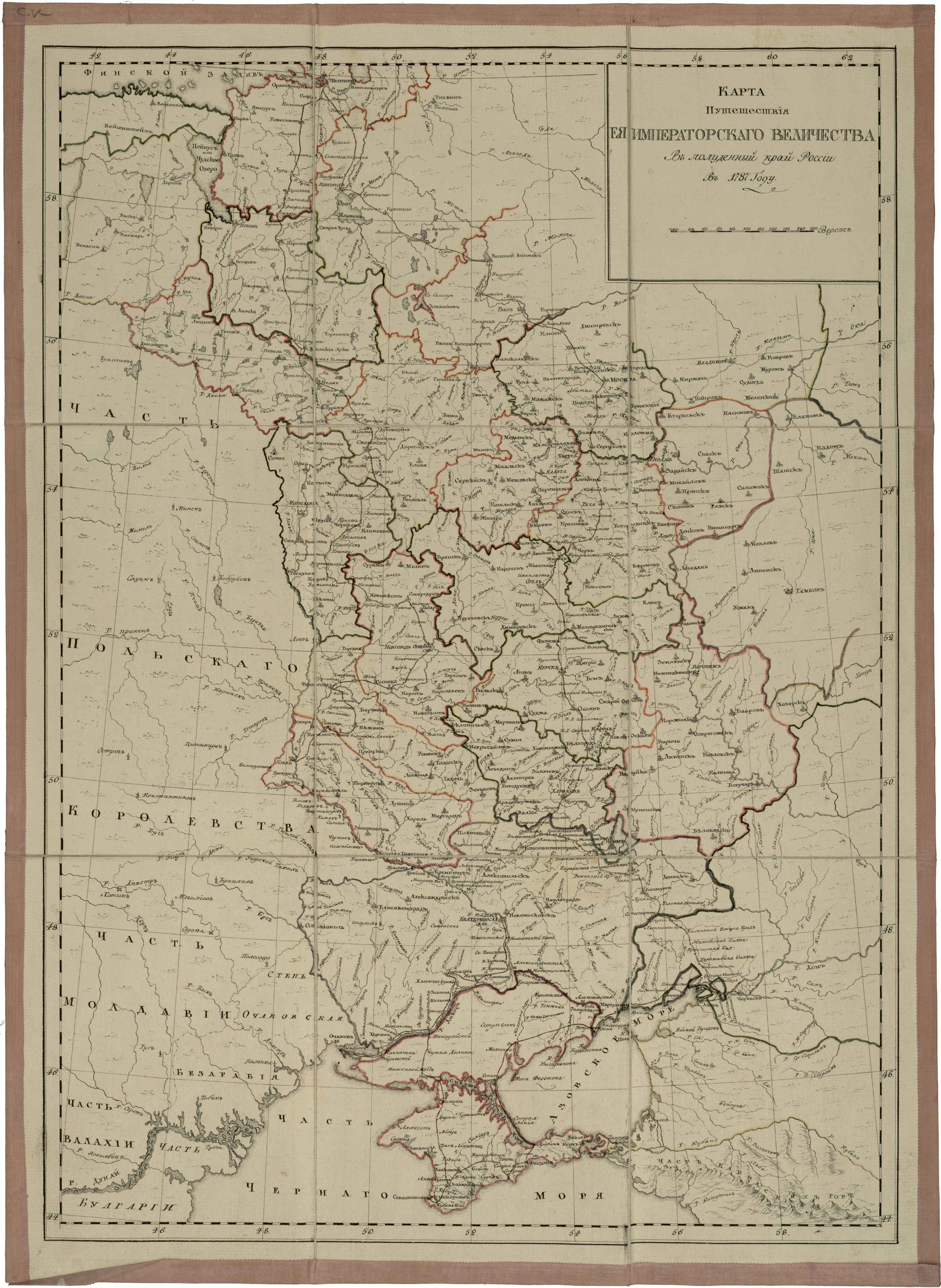
Karta Puteshestviya Yeya Imperatorskago Velichestva V poludennyy kray Rossii (1787) A. Wilbrecht
A map of western Russia charting the expedition of Catherine II to view the new southern territory won from the Turks.
From the atlas: Sobraniye kart dlya puteshestviya yeya imperatorskago velichestva v poludennyy kray Rossii v 1787. A collection of maps for the journey of her Imperial Majesty to the south of Russia in 1787.
Source: http://www.etomesto.ru |
 |
|
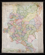
Russia (1800) author unk. Names are Romanized in this map from the time of Paul I.
Map provided courtesy of http://maps4u.lt/en |
 |
|
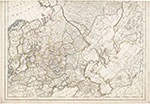
General'naia karta Rossiiskoi Imperii na sorok odnu guberniiu razdielennoi (1799) A. Wilbrecht
Boundaries are similar to the example above, this one in Cyrillic.
Source: http://igrek.amzp.pl/ |
 |
|
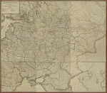
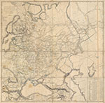
General'naia Karta chasti Rossii (1799) His Imperial Majesty's Depot of Maps
Source: etomesto.ru |
 |
|
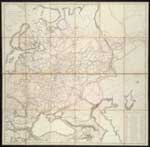
Carte-de-la-partie-europe'enne de l' Empire de Russie (1809) Depot Imperial de Cartes
The Bialystock region is added to Russia here.
Source: Norman Leventhal Map Center |
 |
|
Carte de la Russie D'Europe (1812) P. Lapie
Source: The Norman Leventhal Map Center |
 |
|
Carte-de-la-partie-europe'enne de l' Empire de Russie (1818) Depot Topographique Militaire de le etat major Imperial
Map provided courtesy of http://maps4u.lt/en |
 |
|
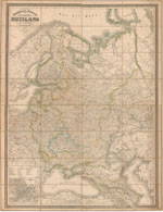
General Karte vom europaischen Russland (1844) C.F. Weiland
Courtesy of the University of Chicago Library. |
 |
|
Polen Westrussland bis zum Dniepr, die Ostseeprovinzen und die Nieder-Donaulander (1849) H. Kiepert
Source: Bibliotheque nationale de France |
 |
|
Karte des Russischen Reichs in Europa (1868) H. Kiepert
Source: The David Rumsey Collection |
 |
|
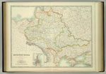
ГЕНЕРАЛЬНАЯ КАРТА ЕВРОПЕЙСКОЙ РОССИИ ЗАПАДНОЙ ЕВРОПЫ ТЫРЦИИ, СИБИРИ И ТУРКЕСТАНА (1880's?) A. Ilyin General'naya Karta Evropeskoij Rossii Zapadnoj Evropy Turtsii, Persii, Sibiri i Turkestana General Map of European Russia Western Europe, Turkey, Persia, Siberia and Turkestan
Source: Bibliotheque nationale de France
|
 |
|
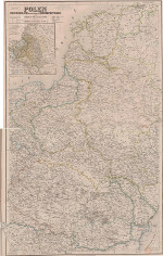
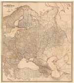
South-West Russia (1893) A.K. Johnston
A variety of political boundaries from different centuries are pictured. In bold red is the boundary of the former Polish-Lithuanian Commonwealth before it's partition in 1772; the Congress Kingdom of Poland, established 1815 is bounded in green. Russian gubernia divisions are included in yellow and dates of significant battles are located by a symbol of crossed swords. The growth of Russian railways can be followed in these maps. Of the four versions linked below, the 1879 and 1893 have the most extensive and well marked rail routes.
Courtesy of the David Rumsey Collection
|
 |
|
Karta Evropejskoj Rossi (1914) Author Unk.
Source: The Polish National Library |
 |
